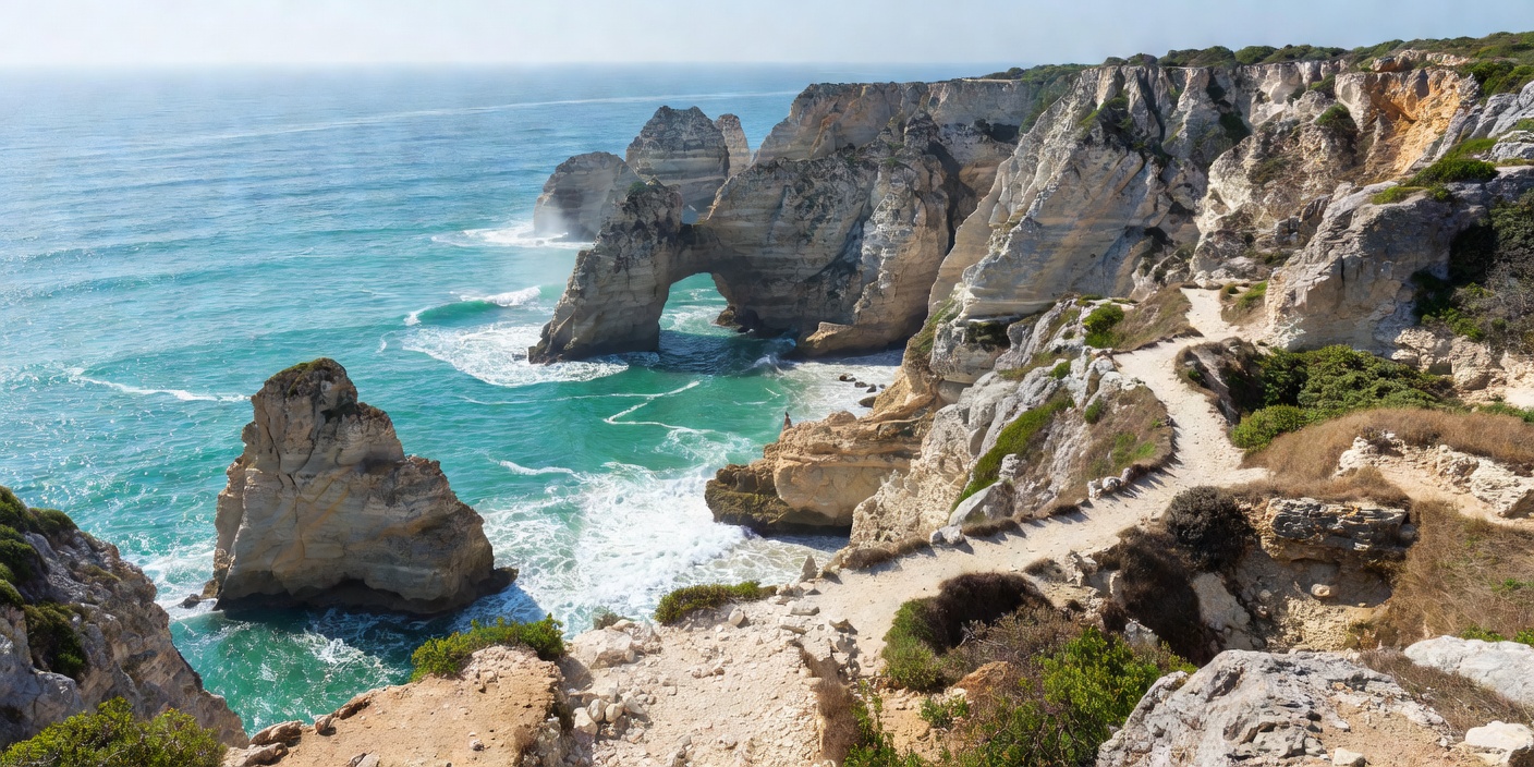
The Percurso dos Sete Vales Suspensos Overview
The official trail (classified as PR1 LGA by the Lagoa Municipality) runs for 5.7 kilometers (one way) from Praia da Marinha in the east to Praia de Vale Centeanes in the west. The route is named for seven dry or hanging valleys: riverbeds carved during past pluvial periods that lost direct connection to the sea as the coastal cliffline receded faster than fluvial erosion could carve downward.
Hikers descending into each valley must navigate short, steep ascents and descents across uneven limestone karst before climbing back onto high tablelands. The full out-and-back trek totals roughly 11.5 kilometers and takes between 4 and 6 hours to complete at a moderate pace with photographic stops.
Key Viewpoints Around Praia da Marinha
Even visitors not embarking on the full 5.7-kilometer trek can access several exceptional clifftop viewpoints situated within a 15-minute walk of the primary Marinha car park:
1. The Miradouro dos Arcos Naturais
Located approximately 250 meters west along the marked trail from the car park, this viewpoint frames the famous "M" double arch. Standing atop the limestone headland looking south-southwest, the two curved apertures line up to form what appears from specific angles as a heart or an elegant cursive initial. This is the classic vantage featured in international travel publications.
2. The Eastern Promontory Overlook
Walking 100 meters east of the upper staircase landing leads to a flat limestone shelf overlooking the entire Marinha cove. This perspective reveals the full amphitheater of golden cliffs, the beach below, and the submerged reef ridges beneath the green water.
3. Algar da Marinha Rim
Directly along the trail westwards lies a large, fenced sinkhole (algar). From the designated railed observation platform, visitors can look straight down into a 30-meter-deep vertical pit where the ocean surges through subterranean caverns.
"The low morning sun strikes the eastern face of the Marinha arches directly, turning the calcarenite stone into rich amber while the sea retains deep turquoise tones before midday glare washes out the color."
Trail Logistics & Safety Precautions
While the trail is well signposted with yellow and red paint blazes conforming to Portuguese Federation of Camping and Mountaineering (FCMP) trail standards, it requires basic trail precautions:
- Footwear: Flip-flops and smooth sandals are strictly unsuitable. The karst terrain features razor-sharp limestone micro-ridges and loose pebbles; sturdy trail-running shoes or hiking boots with lugged soles are essential.
- Sun Exposure: The trail possesses virtually zero tree canopy or shade. Hikers must carry at least 1.5 liters of water per person, wear a wide-brimmed hat, and apply high-SPF sunblock.
- Cliff Edge Caution: Never step over the post-and-rope barrier fences to take photos. Overhangs made of brittle limestone can break without warning under the weight of an adult.
Trail Segments from East to West
| Section | Distance | Terrain Profile | Highlights |
|---|---|---|---|
| Marinha to Benagil | 1.9 km | Moderate karst slopes | Arcos Naturais, Algar de Benagil roof view |
| Benagil to Carvalho | 1.4 km | Steep valley dip & climb | Carvalho cliff tunnel, coastal scrub |
| Carvalho to Alfanzina | 1.2 km | Gentle pine plateau | Alfanzina Lighthouse (Farol de Alfanzina) |
| Alfanzina to Centeanes | 1.2 km | Rocky descent | Sweeping western bay vista, beach cafe finish |